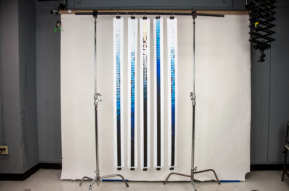
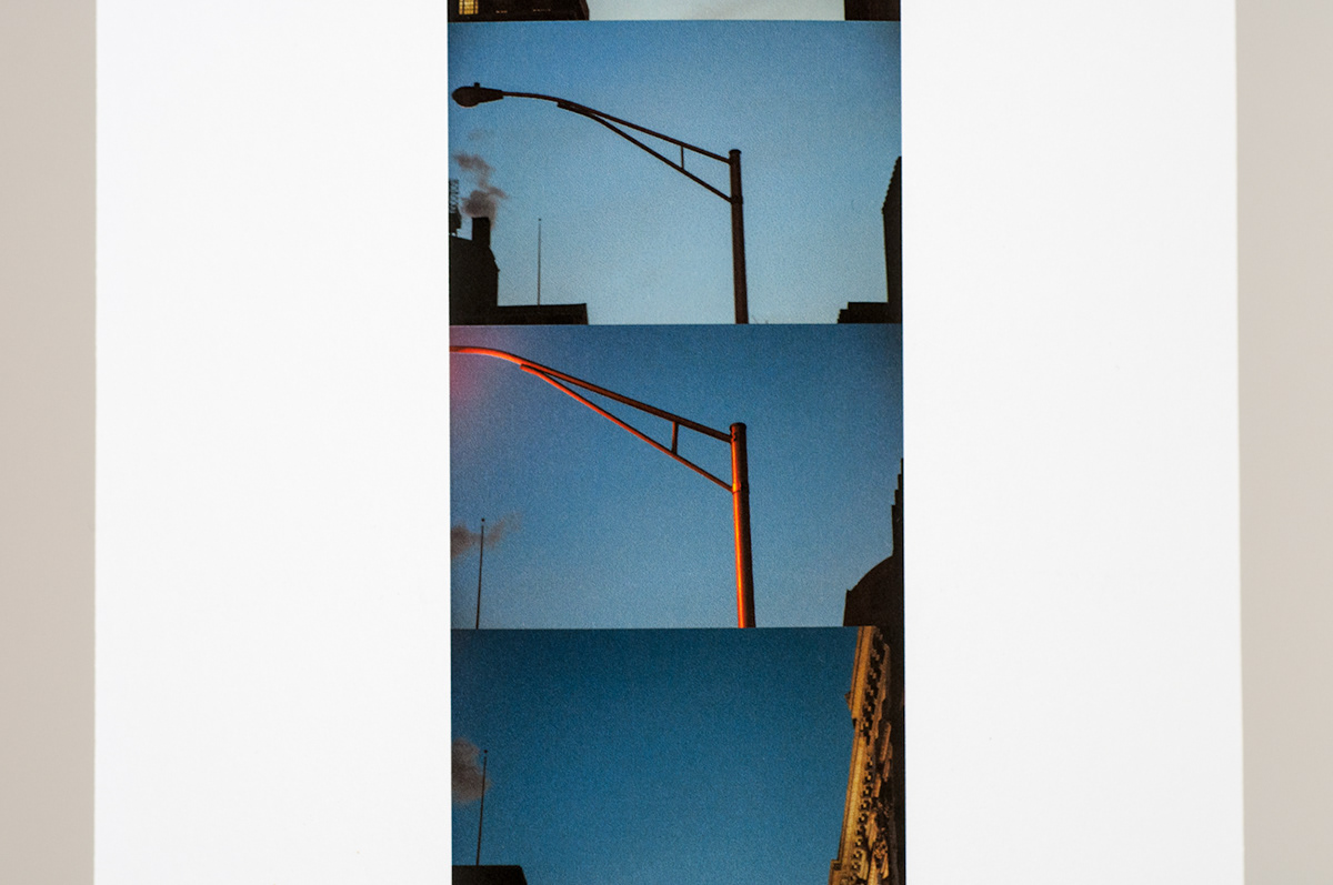
Sundown Mapping
Color Inkjet Ribbons
5" x 108"
A rule-based mapping project that focused on the surroundings of a series of walks. Everyday for a week, I walked from the highest to the lowest in Providence. A photo was taken every 30 seconds with the camera facing the sky at a 45 degree angle. The final vertical form of the project reflects the geography of the walk: from high point to low point.
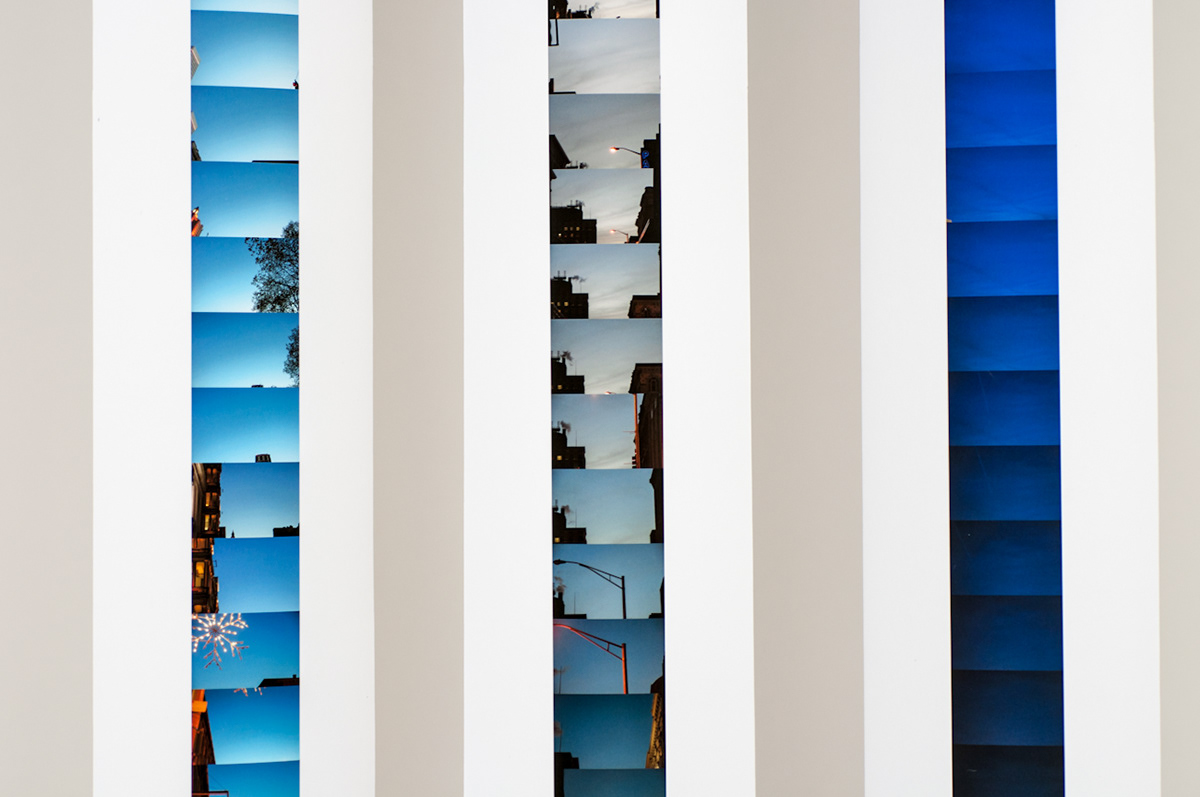
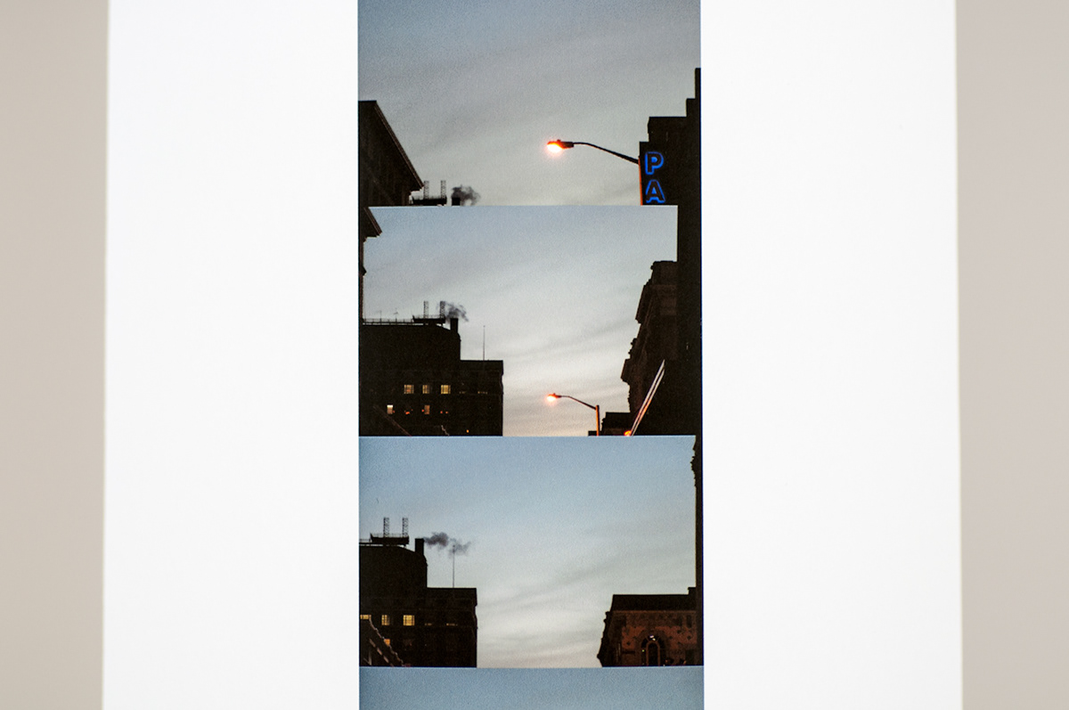
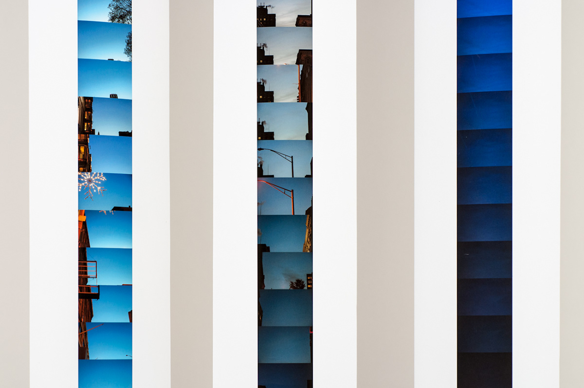
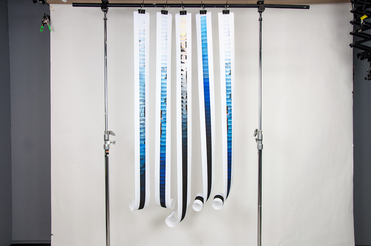