

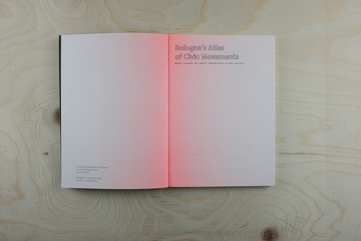
Bologna's Atlas of Civic Movements
BA thesis
ENG:
In contemporary society, the atlas is no longer just a container of maps, views and static illustrations. Its definition has expanded with the evolution of information design and, consequently, we should not currently talk of atlases in the traditional sense, but from the means of distributing analytical information.
Very often it happens that when a book is published, the arguments in it are already exceeded, therefore we should try to contextualize and select the contents thoroughly. Designing maps and atlases in the twenty-first century means to completely rethink the process. Consequently, the purpose of the current thesis is to analyse the evolution of this sector, considering the positive and negative aspects, potentialities and problems. Since, with the presence of digital tools and satellites, printed maps began to appear inappropriate in the evolution of map making, the focus shifted on their aesthetic. Here, i want to stress how the designer could have a significant role in the development of new atlases, by creating different reading points. I also want to stress the importance, for designers themselves , to be more even able to code, to optimise their ways of researching and designing, which are essential aspects for the creation of future atlases.
IT:
Nella società contemporanea l’atlante non è più solamente un contenitore di mappe, visualizzazioni e illustrazioni statiche. La sua definizione si è estesa con l’evolversi del design dell'informazione e, conseguentemente, non si dovrebbe attualmente parlare di atlanti in senso tradizionale, ma di strumenti capaci di distribuire informazioni analitiche e selezionate.
Molto spesso accade che, quando viene pubblicato un libro, gli argomenti al suo interno siano superati, per questo bisogna cercare di contestualizzare e selezionare in maniera più approfondita i contenuti. Progettare mappe ed atlanti nel ventunesimo secolo significa quindi ripensare completamente il processo.
Lo scopo della presente tesi è quello di analizzare l’evoluzione di questo settore considerandone aspetti positivi e negativi, potenzialità e criticità. Da quando, con la presenza del digitale e dei satelliti, le mappe cartacee sono iniziate ad apparire inappropriate rispetto all’evoluzione del visual imaging, si è creata una nuova attenzione verso la loro estetica, senza necessariamente riflettere seriamente su quanto stia accadendo. In questa sede si vuole prima di tutto ragionare su come il progettista possa avere un ruolo rilevante nello sviluppo di nuovi atlanti cartacei, creando per il lettore diversi punti di lettura. Inoltre si vuole sottolineare l’importanza, per il designer, di essere sempre più anche in grado di programmare, per ottimizzare le capacità produttive permettendo una maggiore flessibilità nei lavori di gruppo, essenziali per il processo informativo.


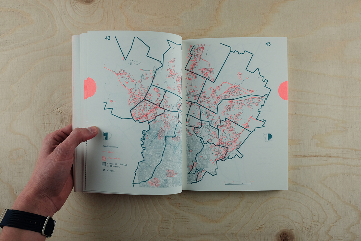
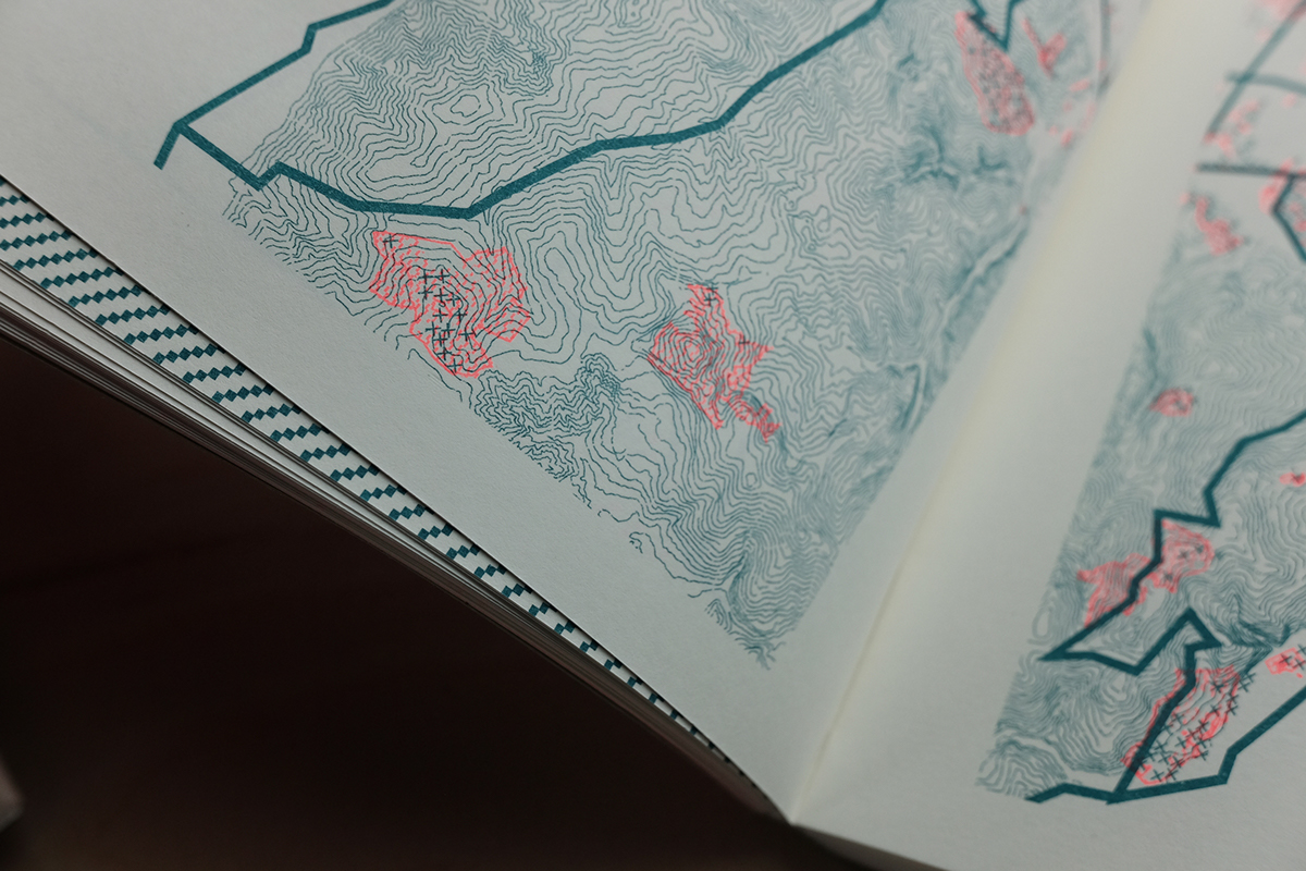
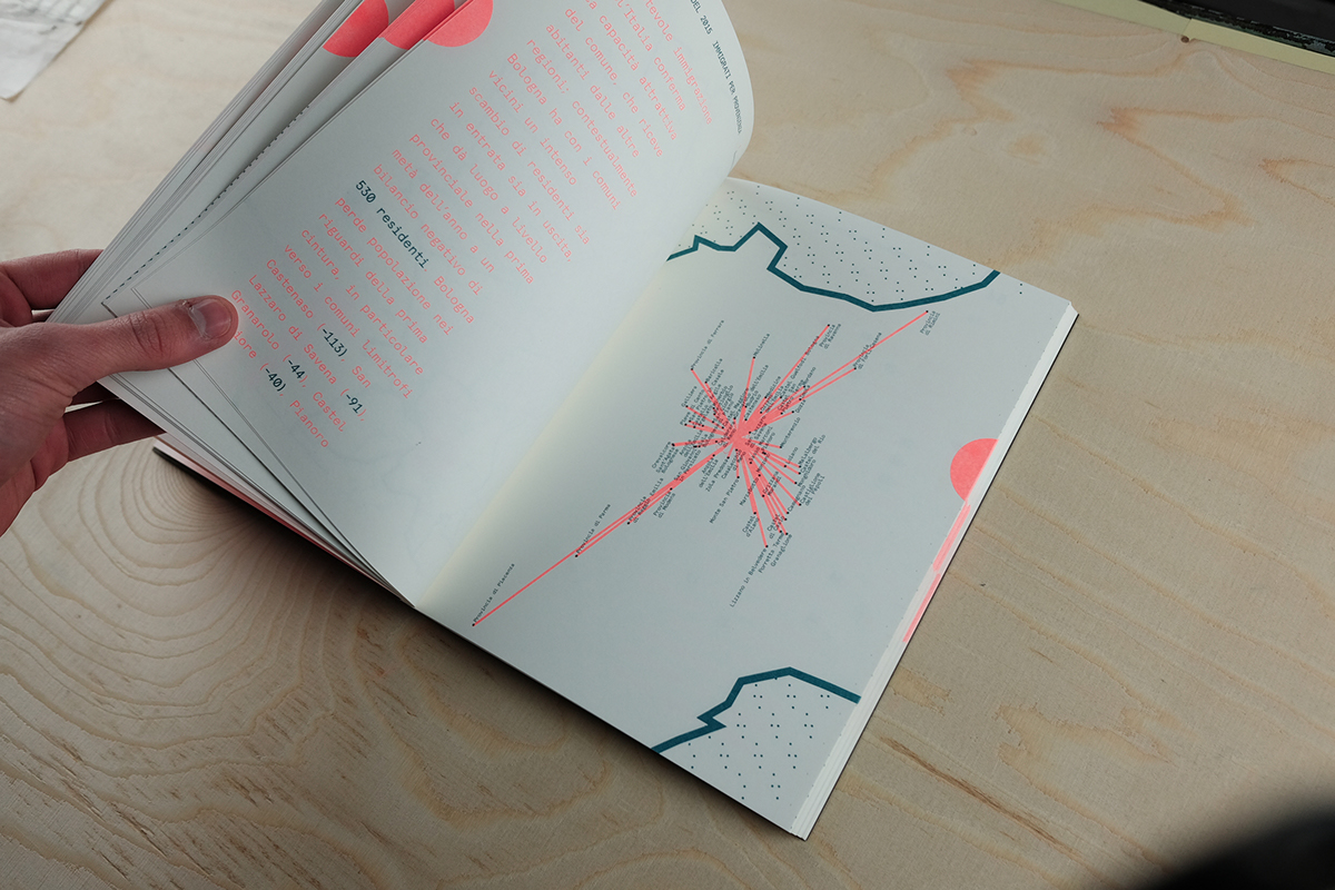
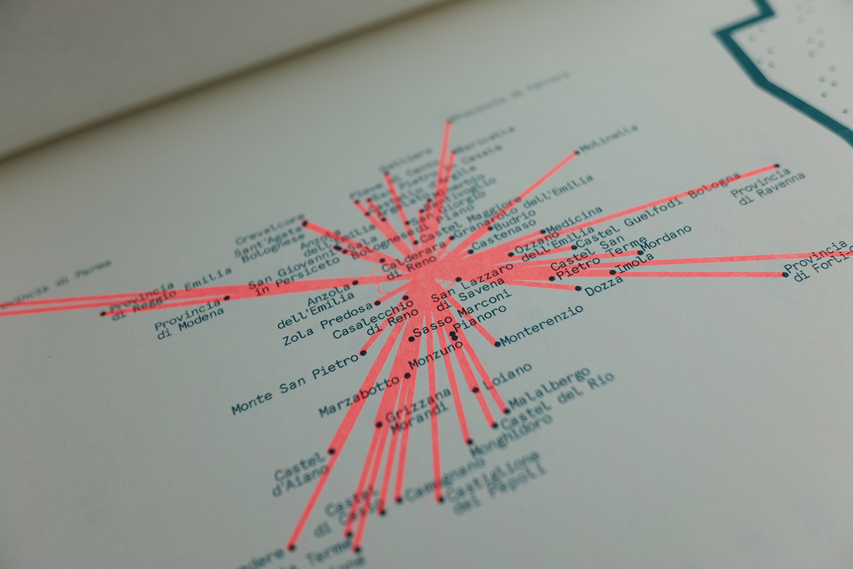
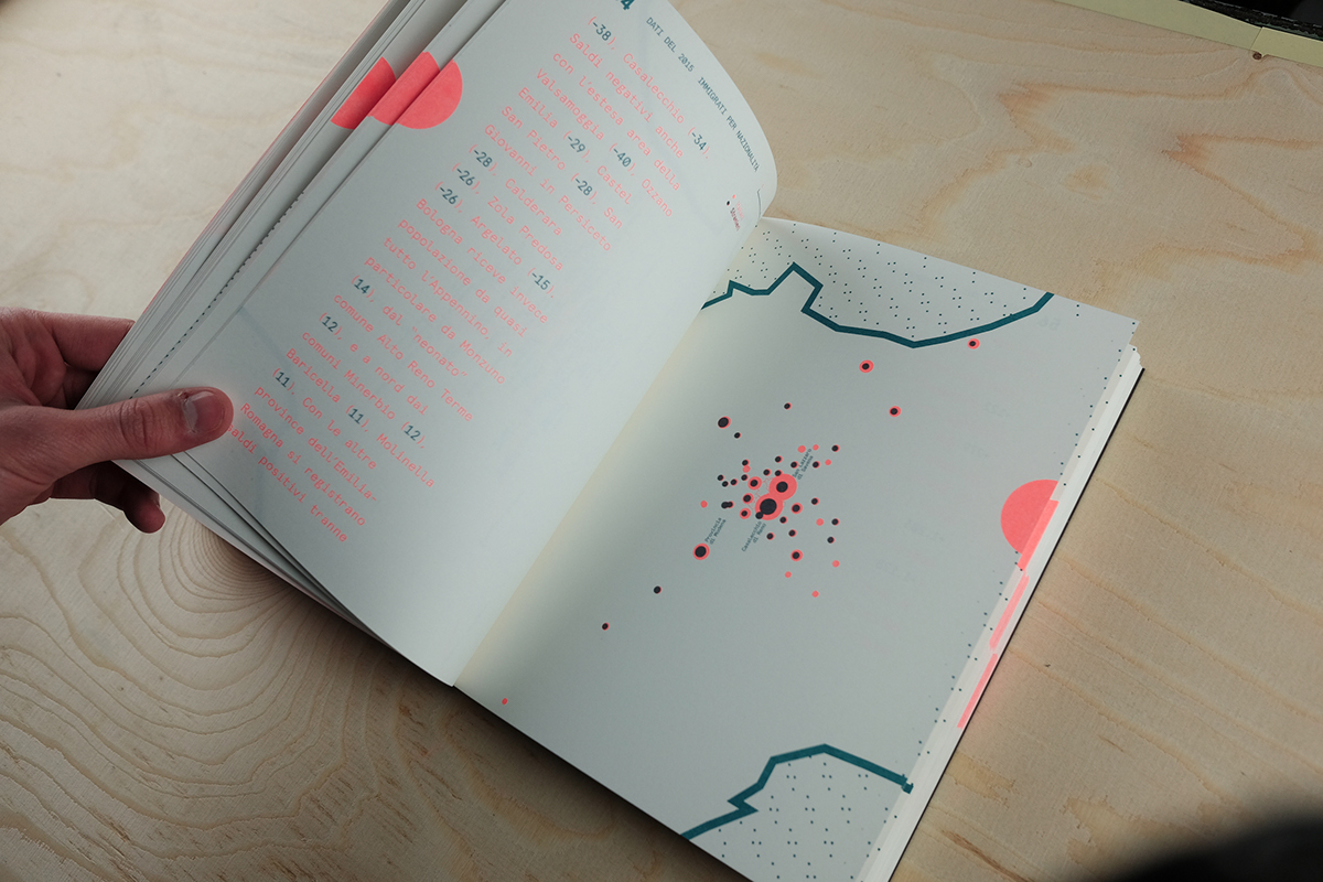
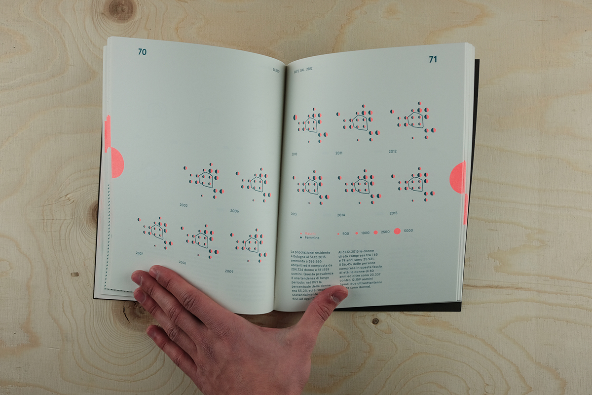
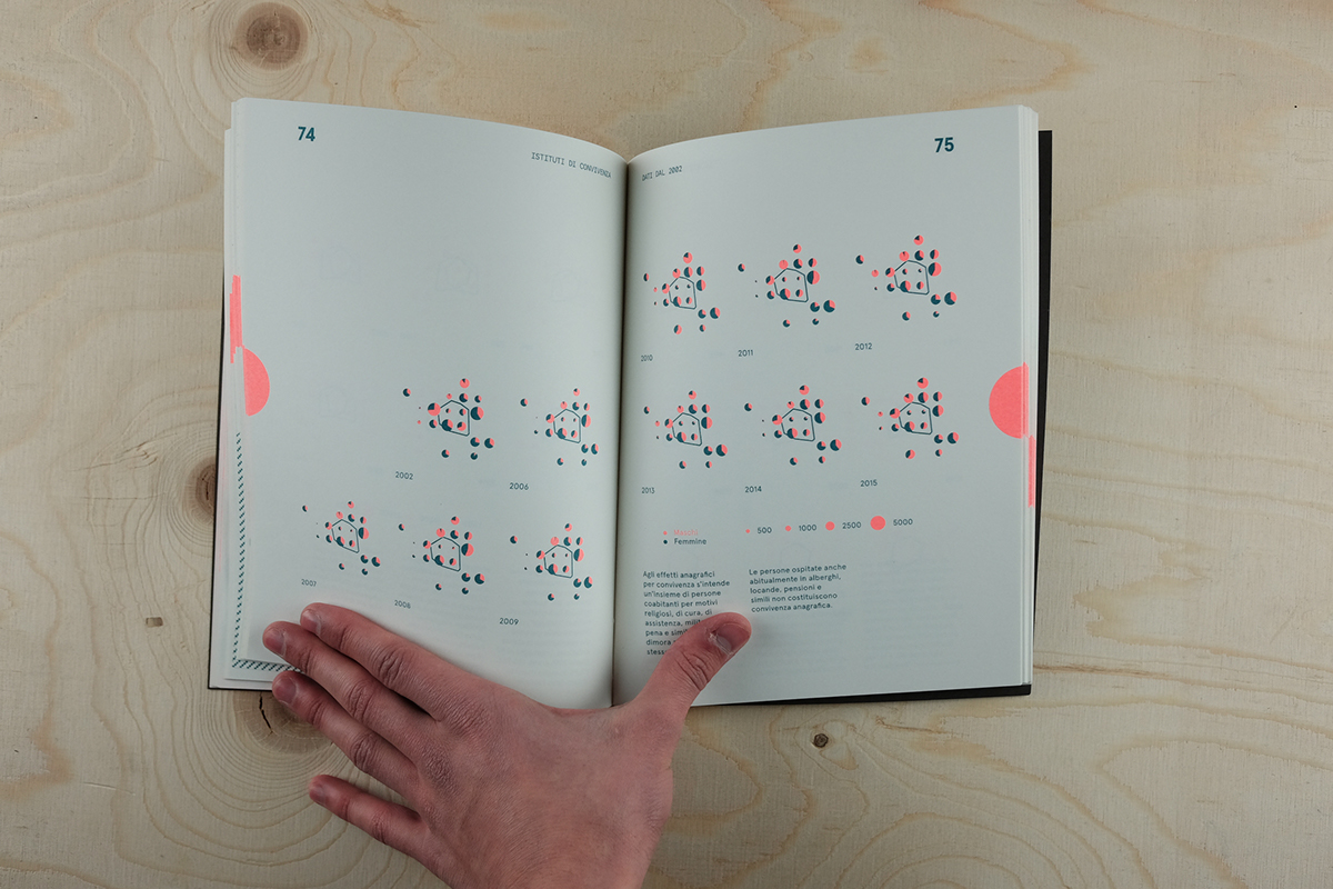
In the first section, analyzing the urban setting, we can think of tactile products, possibly usable by visually impaired users, if designed with special inks capable of enhancing the data overlaps.
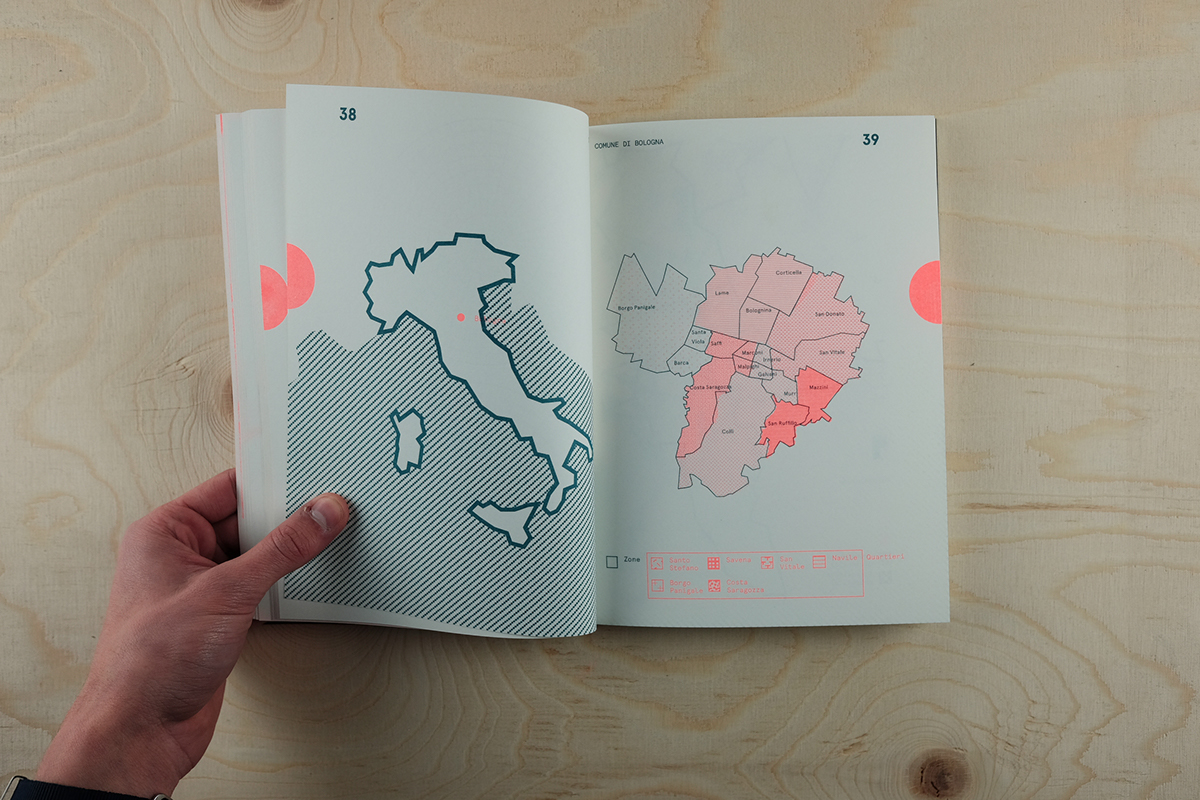
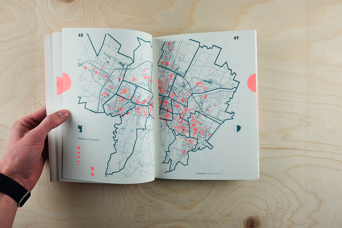
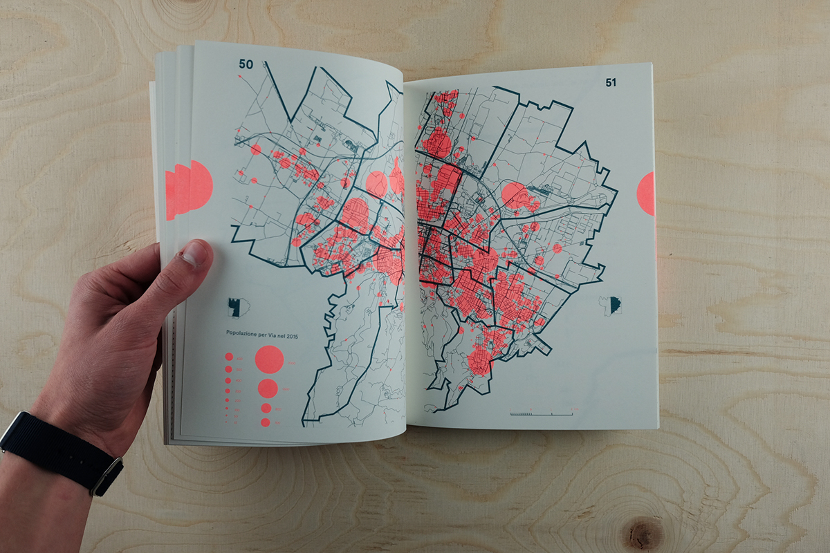
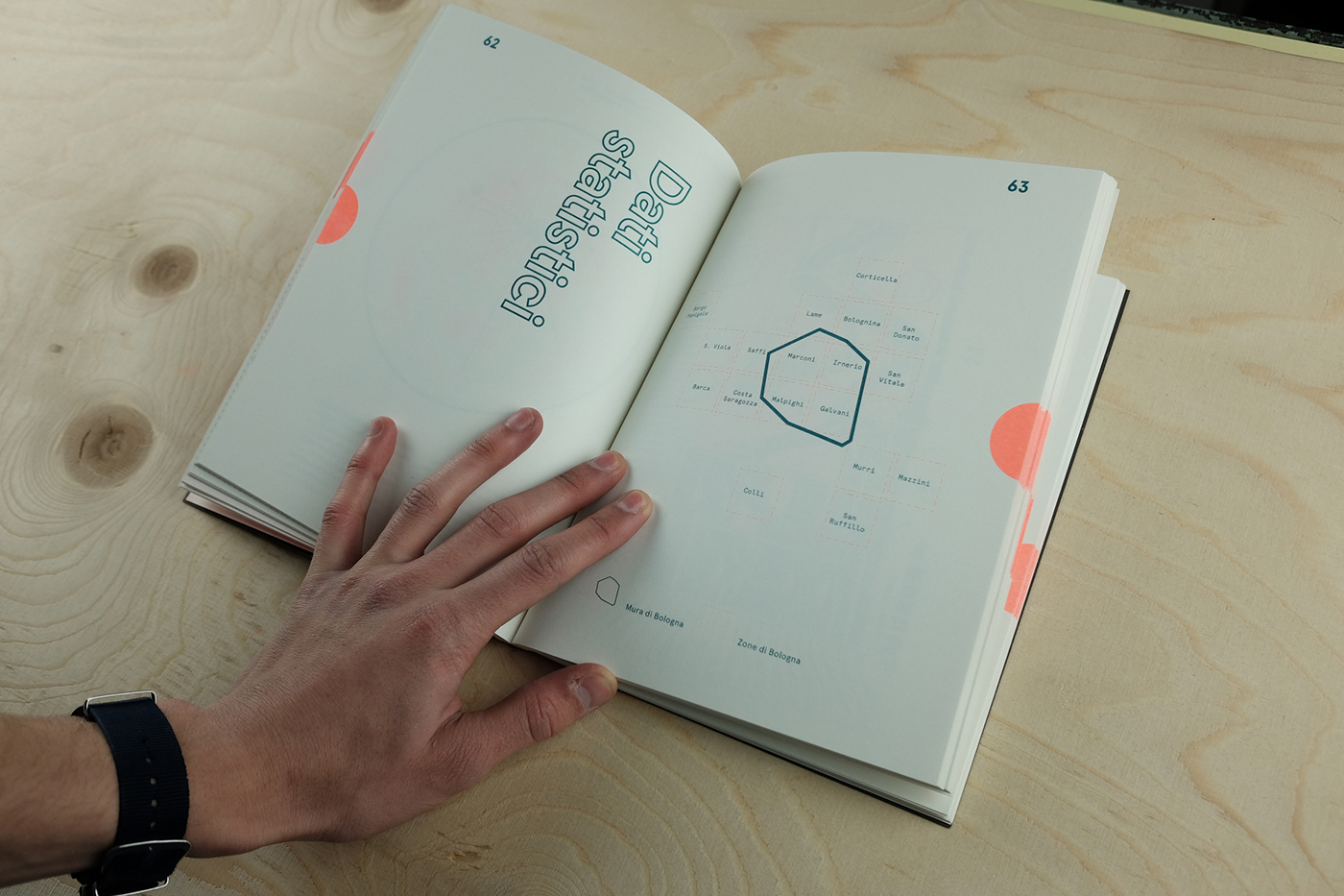
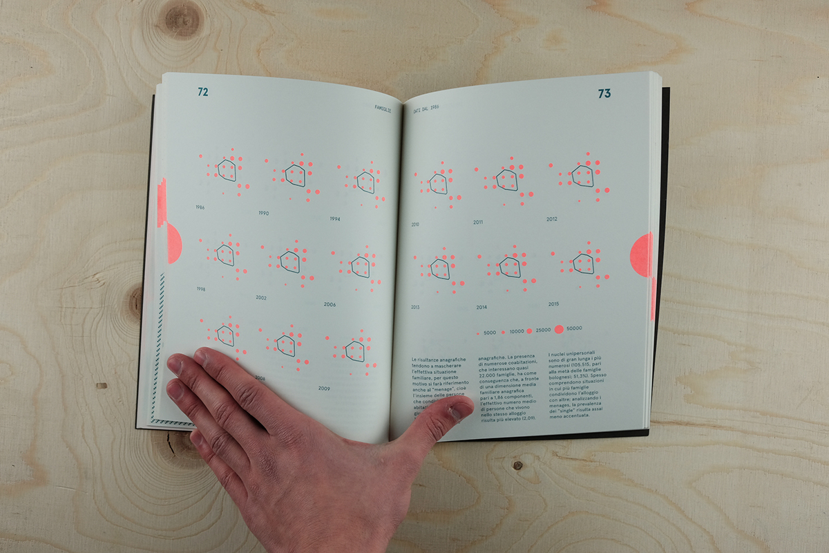
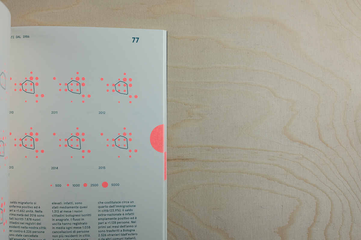
In the second section we think of a way of harmonizing, within a grid, the datasets that entities such as the City of Bologna provide. Creating a geometric grid for neighborhoods, inspired by the work of Grootens for Metropolitan World Atlas, we can represent a graphics standard for comparison of specific data at the municipal level.
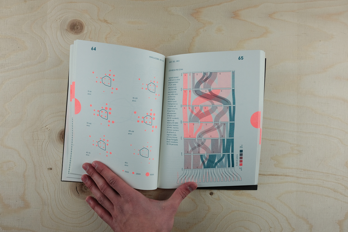
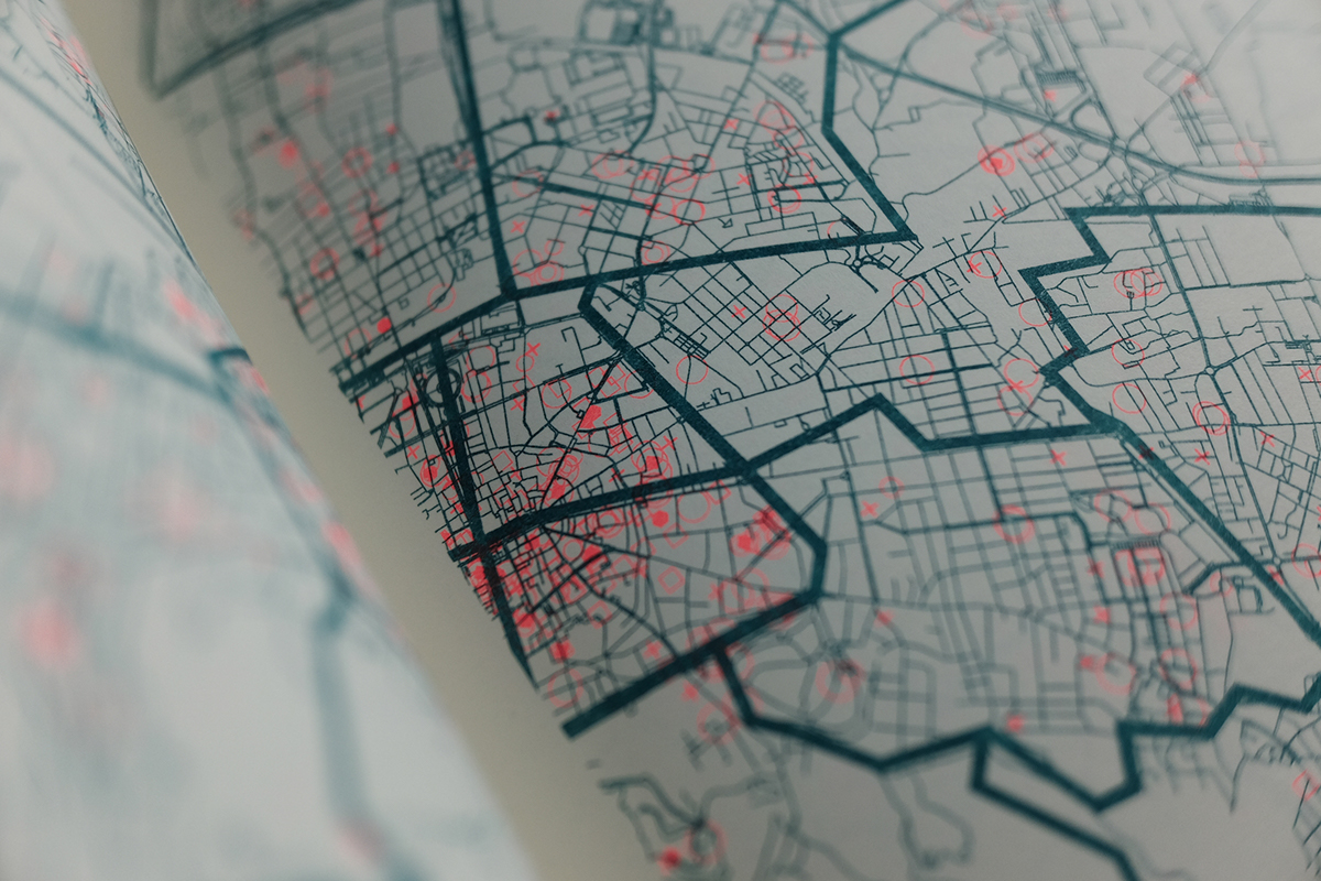
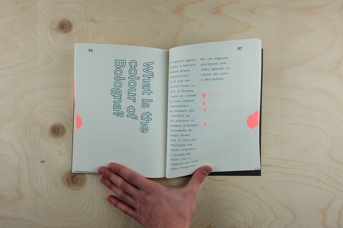
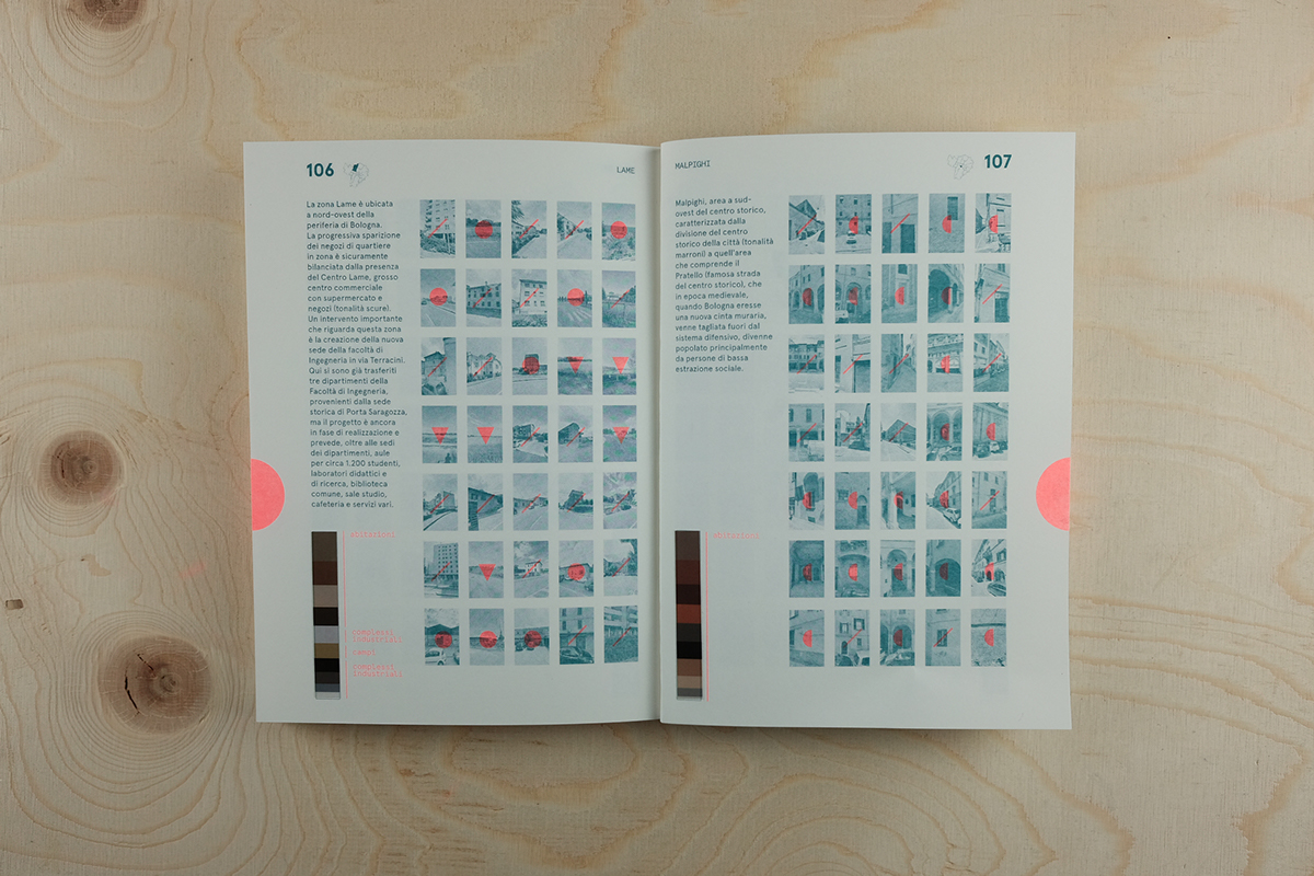
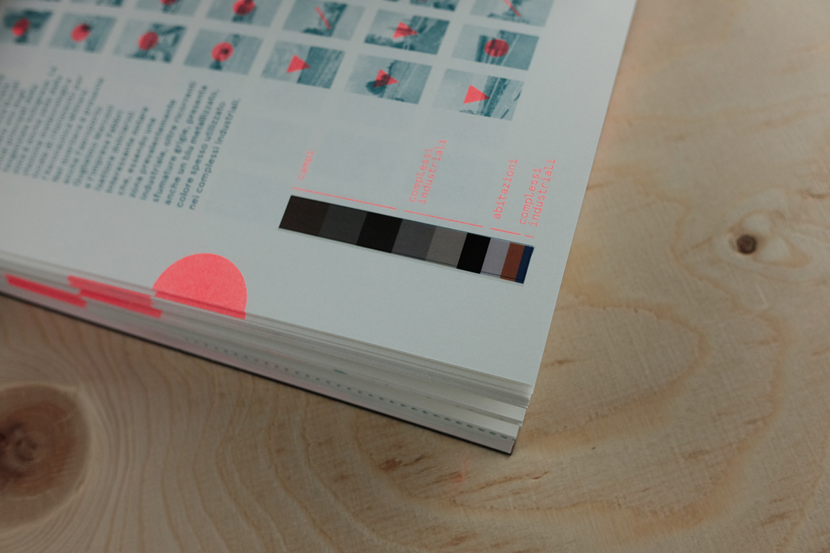
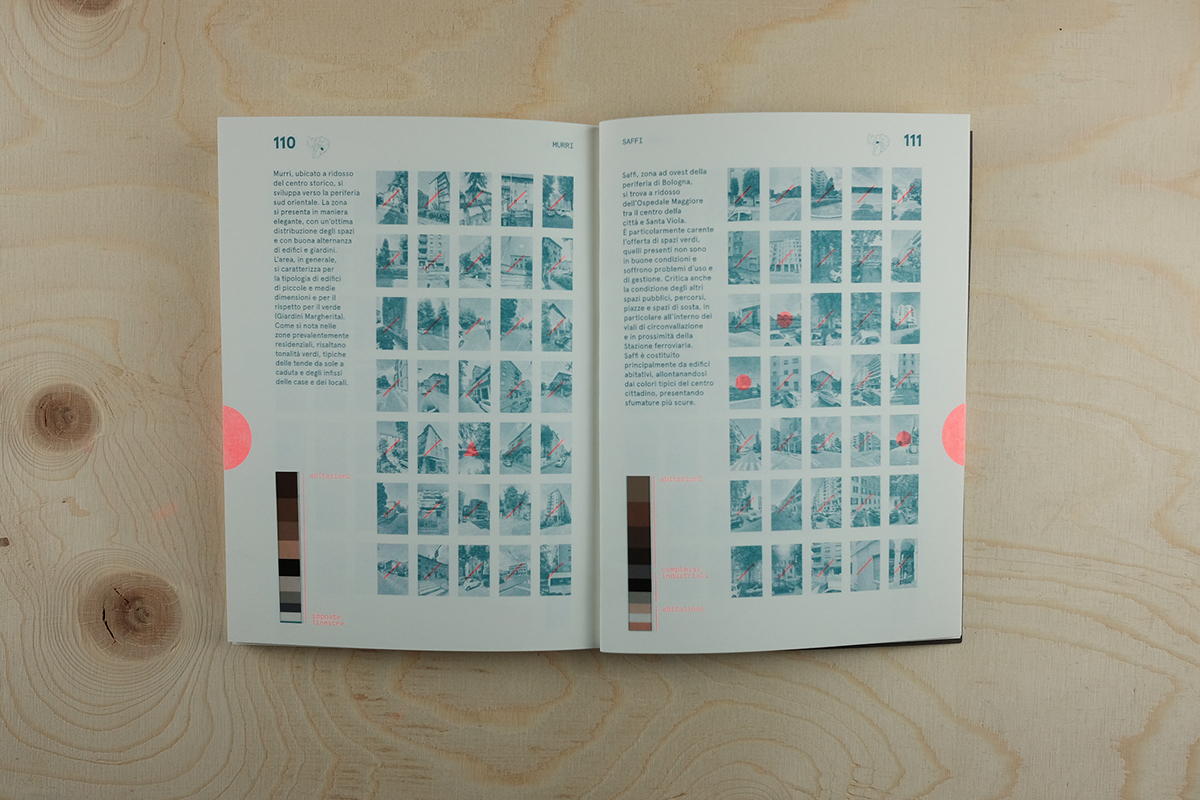
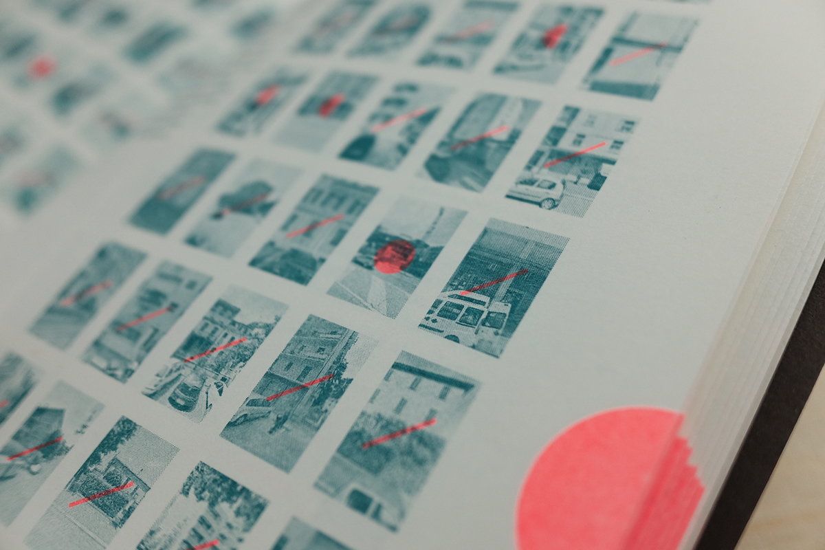
Finally, using computational methods to analyze the urban structure of a city, it can be a new way forward in creating future atlases. In the present thesis we show the color differences between neighborhoods, information that might be useful to architects for the construction of new facilities. This is just one possible use for the creation of new contemporary atlases, where, by programming, we can define new aspects of contemporary urbanism.
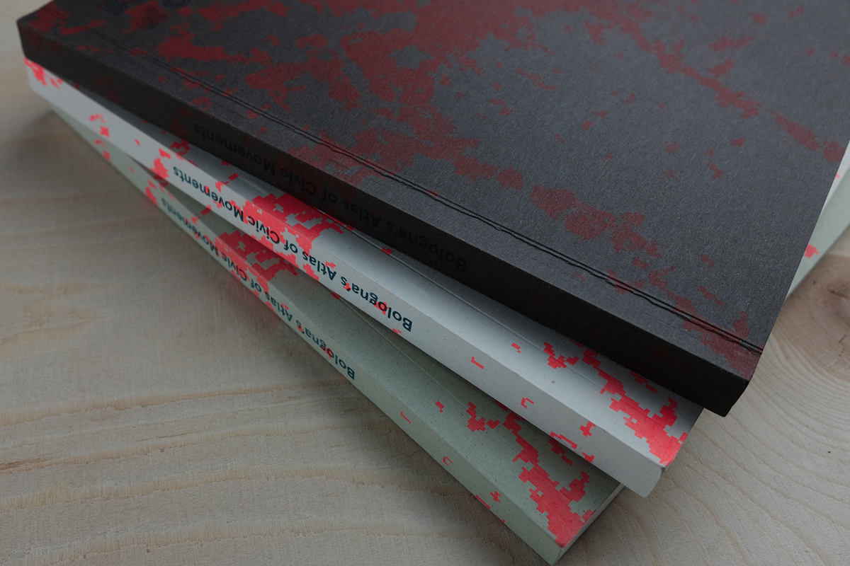
170 x 230 mm
120 pagine / Italiano - Inglese
Stampa Risograph presso Inuit PrintShop, Bologna.
Carta certificata FSC Munken 150 g/m2
in copertina FSC FAVINI CRUSH 250 g/m2
Febbraio 2017


