
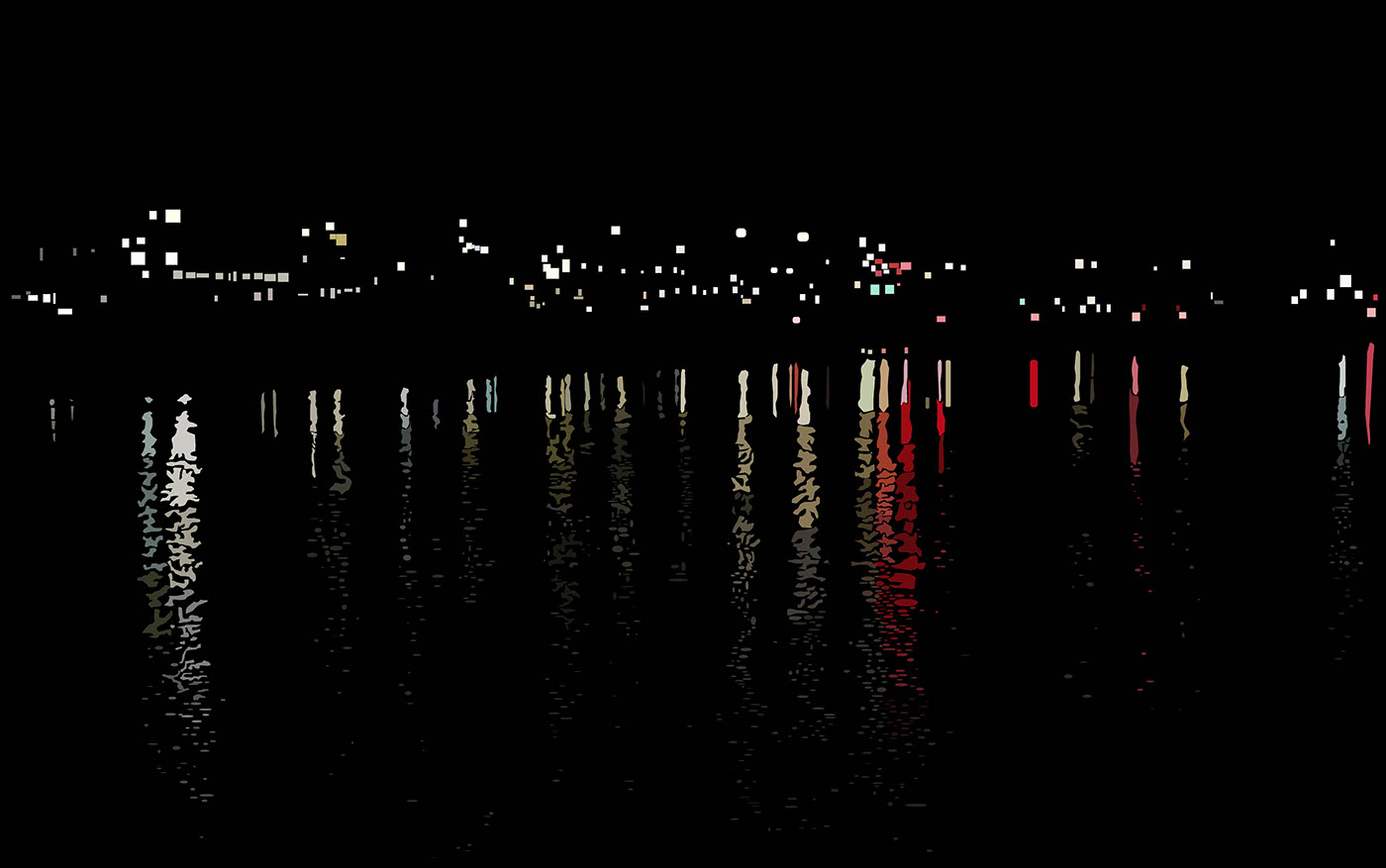
2010.OCT.06 23:53
I haven’t been here since may. I missed this place a lot... The air, the stars, the atmosphere and the looking at the lights from the buildings. This canal is just a very sentimental place. Why can’t I find a place like this back home? I mean if there was a place like this I’d definitely go every day like I did here. Especially when I was struggling so much during the internship. I guess I wouldn’t have gone that much because its so humid back home... Anyways I love this place... I remember the last time I came here. I ordered pizza with him and ate it at night. I was cold. Its cold now. I should probably go back. Is it even safe to be here alone like this at this time? I guess it is because theres no one here.. Or could that be a reason that it’s dangerous? Well.. Who knows. I’m sure I’ll be fine. I should start coming back more often...
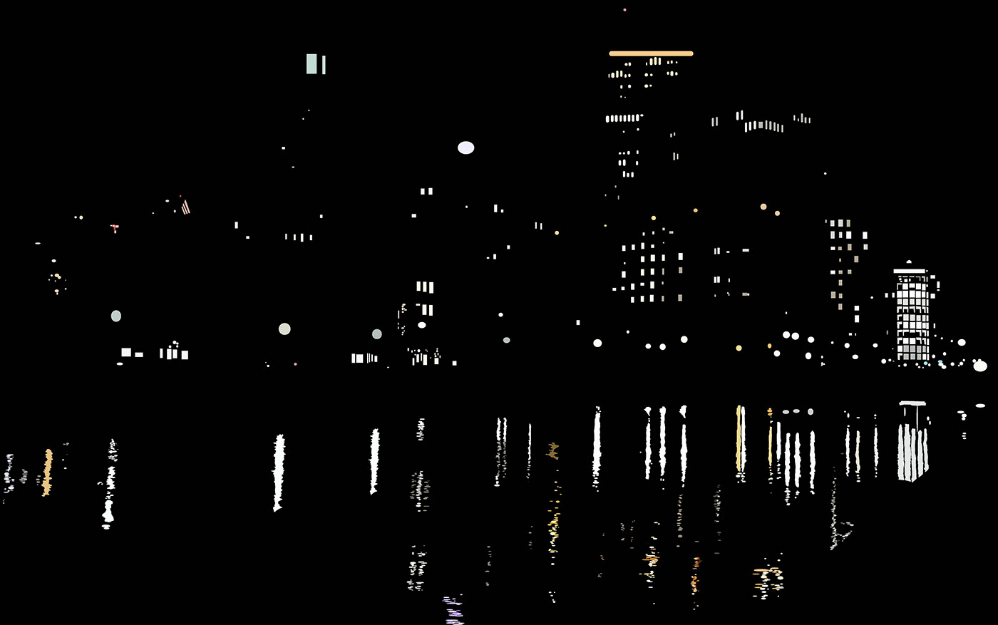
2016.OCT.07 23:13
Ugggggh.. I’m so tired... I remember the days I used to come have with him after church. He’d always comfort me, encourage me that I did well when i lead praise or small group. I remember when we ordered pizza and ate here. Oh that was a good memory I still have a hard time forgetting him. I mean should I be able to? I was with him everyday and we came here everyday. Is it possible to forget someone like that? I hate that he keeps popping up in my mind when I’m here ughhh.. What an annoying person. Did you have to be that mean....?

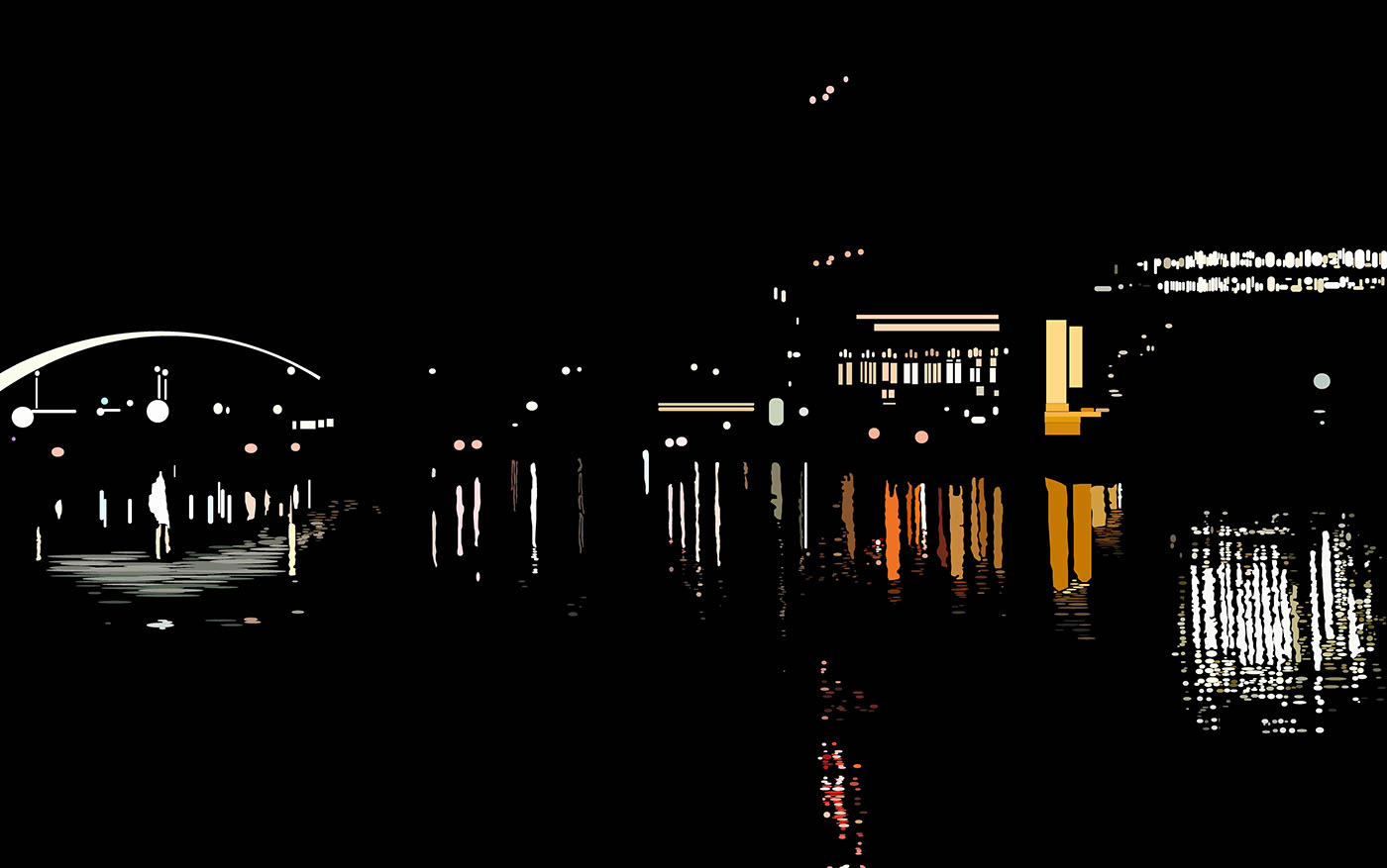
2016.OCT.10 23:51
Today you call and said your sorry. And we should start over. Are you serious? Really? Do you not remember what we went through? Why are you so selfish. Why do you only think about your self. Do you not take me and my feelings into consideration at all? Do you really not realize what you did to me? I can’t believe you just said that..... But then again we did have a lot of good memories. I can’t believe that I’m thinking about giving you another chance. I know I won’t, but I just hate that fact that I’m even considering to give you another chance.
2016.OCT.08 22:47
Did you have to text me today? You left I forgot about you and you had to just text me so that I would remember what we went through? Really? You really had to do that? Your so annoying.. I mean your the one that started everything and your the one that ended everything too. And why are you ranting at me saying that your hurt and your regretting what you did.. Do you not realize that I’m hurt too? And that you are the one that hurt me? Ugh your so annoying.
Fall 2016
Design Studio 3 - Assignment 13
How can designers Map? How does mapping lead to new ways of seeing?
This Unit is about exploring the visual language of maps and mapping as a way to express interests, opinions, observations, or points of view about a physical site and its attending associations, stories, qualities, and intersections.In the simplest terms, maps are print- or screen-based images that represent land, boundaries, location, or geography. They are produced by cartographers and work to simplify and reduce physical reality into useful and useable 2-dimensional tools. But some maps describe political, social, artistic, even personal data; they can be factual or fictional; they can be subversive and persuasive. Maps can help to make arguments, point out problems, express quantity, and identify detail. Maps can aggregate one kind of information while omitting another altogether. Maps can act like a lens on a place or frame a point of view.
If you enjoyed this,
please click the "APPRECIATE" button below!


