Collaborative project with Adria Boynton (B. Arch., '15)
PART 1
PART 1
Analysis of movement networks in South End, Boston, MA:
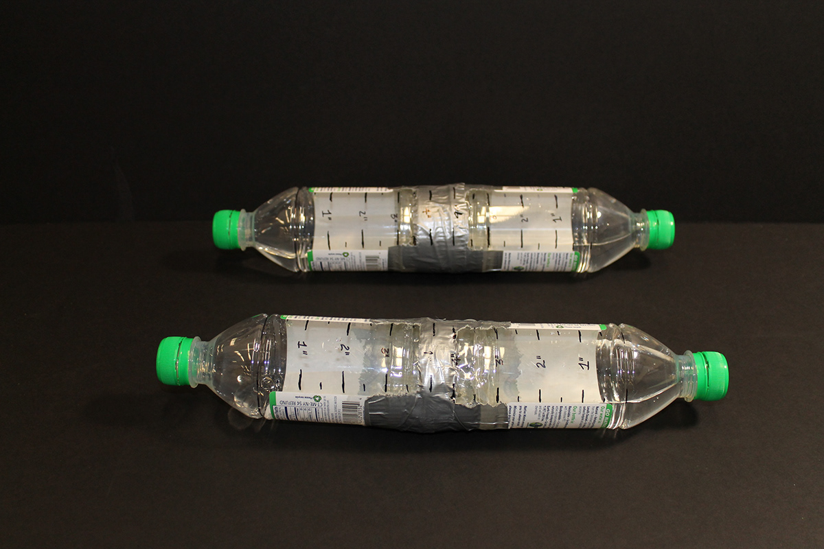
Measuring the time, speed, and movement of thirteen randomly selected pedestrians by using a tool.


Movement Analysis Map

Movement Analysis Model

PART 2
Analysis and Proposal


A section through Pembroke Street shows a condition of mix-use, but also that of divided usage of land in South End.
Unlike the other districts such as residence-dominant Beacon Hill and structured Back Bay, South End has varied land usage of residential, commercial, and public green spaces.

Fragmented movements in bike paths and green spaces.
Bike paths stop on the boundary of the district rather than continuing into the other districts, and paths to green spaces are not continuous as well.
Bike paths stop on the boundary of the district rather than continuing into the other districts, and paths to green spaces are not continuous as well.

Proposal
New ways of bringing continuity in South End.
Bike paths follow into the other neighborhood districts and are continued to the next bike paths.
More greenery such as green walls, hanging plants, and trees throughout the paths.
Fall 2012
Urban Design Principles
Professor Hansy Better
